SEAP Southeast Asia Pilot-1
  >   Thailand   >   Pattaya & The Eastern Gulf

Ocean Marina to Sattahip

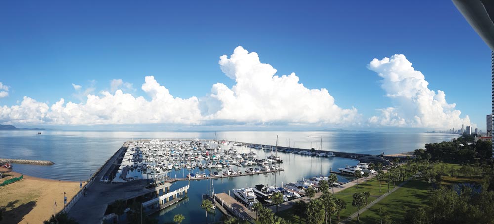
Ocean Marina Yacht Club
Anchorage ‘A’, Ocean Marina Yacht Club
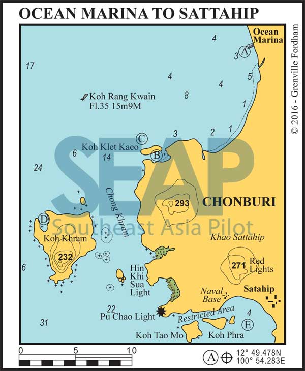
Ocean Marina Yacht Club to Sattahip chart
  • A

OCEAN MARINA

7 miles from South Pattaya Bay

OCEAN MARINA YACHT CLUB. 12°49.478N, 100°54.283E

Ocean Marina is built within a rock breakwater, with 450 berths in front of two high-rise hotel and condominium towers. It is easy to spot from seaward. Permission is required to enter from the Harbour Master on VHF Ch.12 during office hours. A limited number of superyacht berths up to 50 metres are available.

Read more

Click to view Thailand photo gallery.

  • B
  • C

KOH KLET KAEO NORTH & SOUTH

12 miles from Ocean Marina

KOH KLET SOUTH (B): 12°45.350N, 100°50.730E
KOH KLET NORTH (C): 12°45.794N, 100°50.589E

Anchor in 4-5 metres on either side of the island. The southern anchorage is ideal for overnight stops in pretty surroundings. May be subject to Navy restrictions.

Click to view Thailand photo gallery.

  • D

KOH KHRAM

23 miles from Ocean Marina

KOH KHRAM. 12°42.601N, 100°46.297E

Anchor in 6-10 metres on the eastern side of the bay. Giving good protection in the southwest season, the inner bay is shallow. May be subject to Navy restrictions.

Click to view Thailand photo gallery.

  • E

SATTAHIP BAY

35 miles from Ocean Marina

SATTAHIP BAY. 12°38.138N, 100°54.472E

A beautiful natural harbour protected in all seasons. Anchor in 3-4 metres off the sandy beach in front of the Royal Thai Navy Yacht Club. There are good facilities ashore, although visits are by invitation only.

The waters adjacent to the naval station, south of the Laem Pu Chao light on the mainland and east to Koh Phai, are out of bounds to cruising yachts.

Click to view Thailand photo gallery.
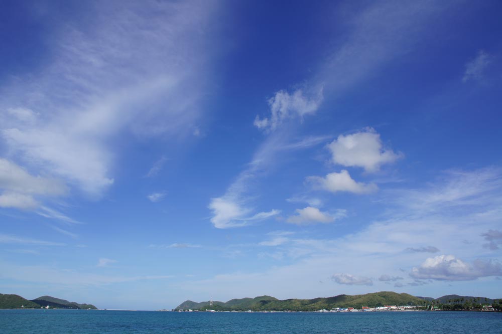
Sattahip Naval Base, near Pattaya, Thailand
Sattahip Naval Base, near Pattaya, Thailand | Photo by Charin ninsu CC BY 3.0, Link

See also:

  Go to top

While every effort has been made to ensure that the information contained in this book is accurate, the charts of anchorages are based on personal experience and satellite imagery and are intended as a guide only. They should not be used for navigation. Please refer to Official Hydrographic Charts of the respective countries.

Copyright.
The copyright holders of all content, in print and digital editions, are: Published book © Phuket Publicity Services Ltd. Part. / Texts © Bill O’Leary, Andy Dowden & Grenville Fordham / Design, layout & charts © Grenville Fordham / Photography: © as indicated in photo credits. All rights reserved
No part of this publication may be reproduced, stored, or transmitted in any form or by any means - graphic, electronic or mechanical, including photocopying, recording or otherwise – without the express permission of the publisher, Phuket Publicity Services Limited Partnership, and the other copyright owners.

Phuket Publicity Services Partnership, Ltd.,
Phuket Publicity Services Partnership, Ltd.,19/87 Moo 7,T.Srisunthorn, A. Talang, Phuket 83110 Thailand
Privacy policy