This website uses cookies to improve your experience. We believe you'll be OK with this, but you can opt-out if you wish. Or you can go to 'cookie settings' and choose which cookies to allow. Privacy policy

90 miles north of Mersing is Kuantan, the next main fishing port on this coast. The river is navigable but subject to frequent depth changes. Entering should only be attempted at high tide; following a local vessel through the sandbar is recommended.
Anchorage is possible either side of the river or tie up to another vessel already alongside the many jetties. Further up the river at 3°48.503N, 103°20.075E, anchor just before the bridge in 3-4 metres opposite the commercial fishing pier and blue and white marine department building.
Read more
45 miles from Terengganu


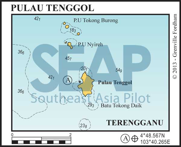
Fifty miles north of Kuantan is the small offshore island of Pulau Tenggol. This anchorage is deep in 15-20 metres on a sandy bottom off the cul-de-sac Telok Ayer Tanwah (Fresh Water Bay), mid west coast. Ashore is the Tenggol Coral Beach Resort, owner of some moorings for visiting yachts. This is a good stopover for the night.
The resort accepts outside guests at its restaurant and will arrange dive trips to the best local dive sites. The best diving and snorkelling is just two miles north at Pulau Nyireh 4°50.541N, 103°39.670E and Pulau Tokong Burong 4°51.725N, 103°39.504E. Read more
Click to view Malaysia photo gallery.

260 miles from Singapore


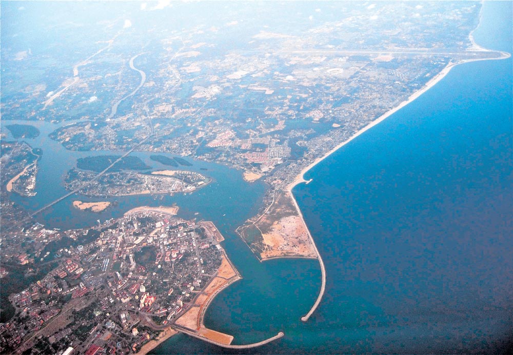
Forty miles north of Pulau Tenggol is the thriving oil and gas port of Kuala Terengganu. The main activity was fishing until the 1980s, when oil and gas fields began to be developed in the Gulf of Thailand.
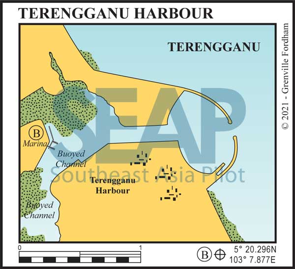
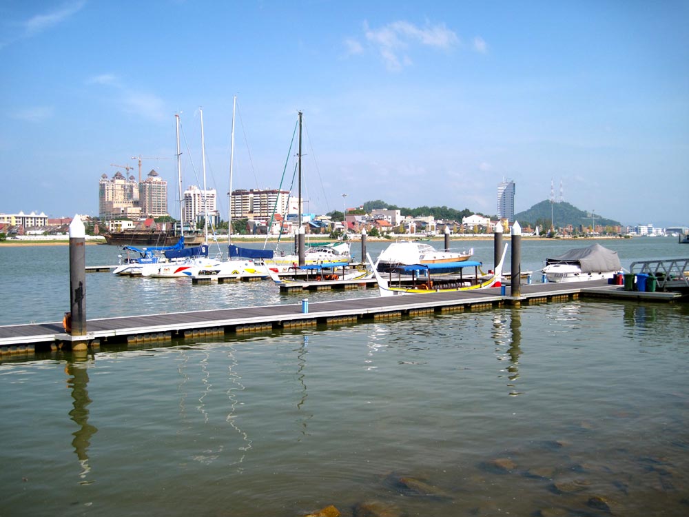
Now the major east coast supply port for the Malaysian oil industry, the government recently completed construction of a mile long crab-claw-like reclamation breakwater sheltering the harbour. This makes Terengganu the most protected spot on the entire east coast of the Khra Isthmus, but beware the rock breakwater exacerbates the north south currents which can reach three knots across the entrance mid tide. Read more
Click to view Malaysia photo gallery.

