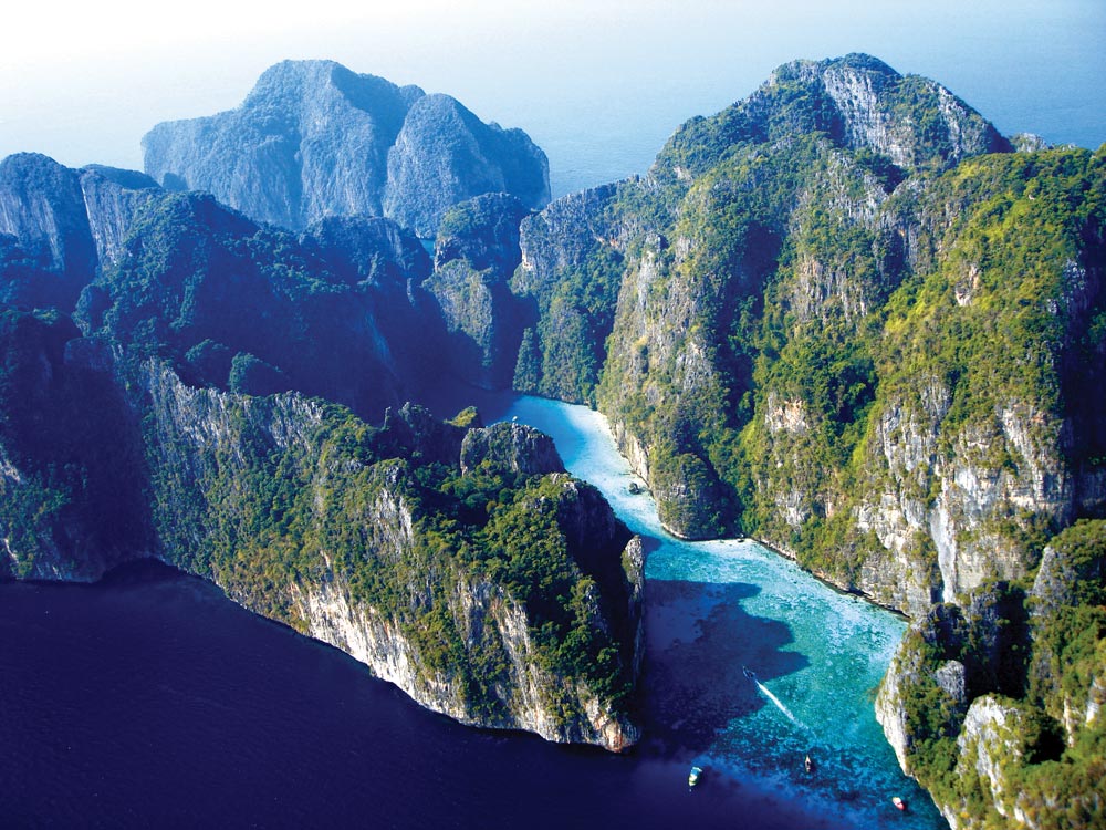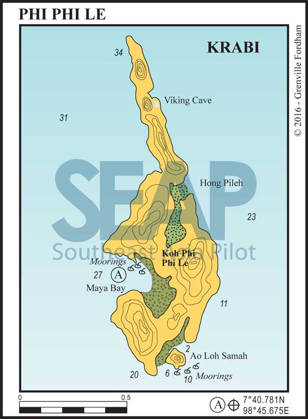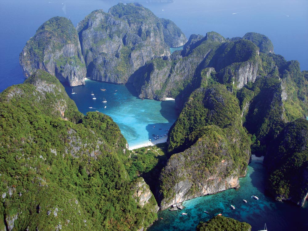
Phi Phi Le has four interesting sites to visit. The best and most famous is Maya Bay, the location for the film ‘The Beach’. It’s a spectacular lagoon on the west coast, surrounded by limestone cliffs with three white silica sand beaches.

4 miles from Ton Sai Bay, Phi Phi Island


From a yachting point of view, the beaches inside Maya Bay are now completely off limits – as is anchoring on coral. However, a few lucky yachts can grab one of the five National Parks moorings and stay overnight, if they time their evening arrival to coincide with the day trip snorkeller boats departing. This is a spectacular spot, especially when it’s empty.
If the moorings are taken it’s advisable to return to the more secure anchorage inside Ton Sai Bay for the night. Dropping anchor anywhere on, or even near, coral in the park is now illegal and carries a heavy fine.

South from here Ao Loh Samah is the indent with a rock island nestling in the middle of a coral garden on the southeastern tip of the island. There are a few moorings offshore, great snorkelling around the islet and a steep track crossing over to Maya Bay.
Up on the northeastern side of Phi Phi Le are Hong Pileh and the Viking Cave. Both are well worth a look, but anchoring on the east coast is difficult due to the depth. Yachts dropping people off to explore should hold off in either season, accessing the small jetty at the Viking Cave entrance by dinghy. A better bet is to simply hire a local long-tail boat from Ton Sai Bay. This is also the best way to get access to the spectacular coral filled Hong Pileh on the east side, which is inaccessible by deep draft yachts.
