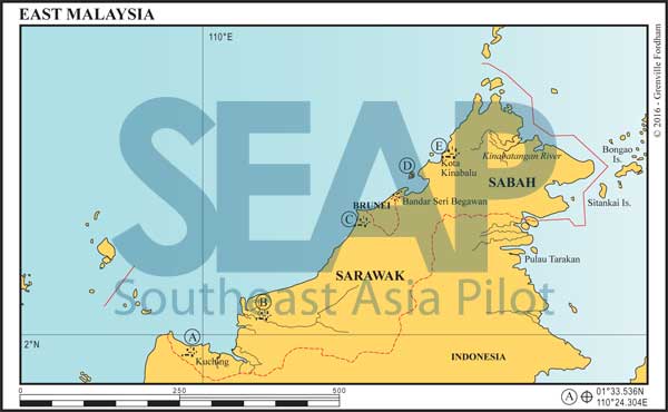
farawayfrom: 365 miles from Singapore


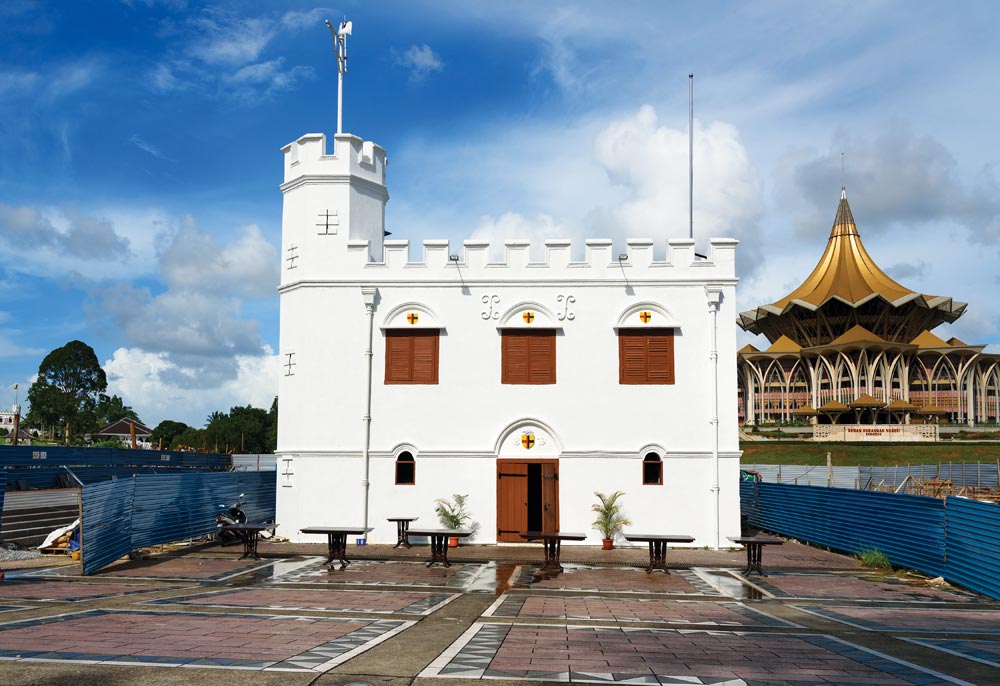
In the past, yachts could go up the river to Kuching and anchor right in the middle of town. There are two causeway bridges now, so this is no longer possible. Best option is to motor seven miles up the Sarawak River past the prominent Borneo Convention Centre to the small government-run Kuching Marina with the blue dome roof ashore.
There is space for 20 boats with water, electricity and showers. Customs and Immigration clearing are a short drive away at old Pending Port. There is good transport into town and the Bako National Park is nearby.
Read moreClick to view Malaysia photo gallery.

120 miles from Sarawak River Marina (Kuching)


On the confluence of the Rajang and Igan Rivers, 70 miles from the South China Sea, Sibu is the second largest town in Sarawak. It is a thriving, modern town dominated by its bustling and crowded waterfront.
Anchor on either side of the 1-mile wide river, keeping well clear of the central channel and busy barge traffic. Best holding is off the famous Sibu Swan sculpture past the ferry piers near the Kingwood Hotel.
Read moreClick to view Malaysia photo gallery.
Brunei and Sarawak Oilfield rigs extend south west of Miri. These active production rigs are well lit but there are plenty of heavy-duty wellheads and mooring buoys remaining unlit purposely to avoid petty theft of batteries, solar panels and lights. These steel hazards can be extremely difficult to see, especially when backlit by an active rig. Keep a good night lookout when amongst these rigs.
280 miles from Sarawak River Marina (Kuching)


Miri Marina is one mile south of the Baram River (called ‘Miri River’ by the locals), tucked in behind a breakwater in a sheltered lagoon. The bay to the south and east is shallow.
The statue on the port side breakwater on entering is a seahorse, the city emblem of Miri. The marina offers full facilities and berthing for 80 yachts up to 115 ft. The depth inside is approximately 4 metres with a 2-metre soft mud bank at the entrance.
Read more370 miles from Sarawak River Marina (Kuching)


The government-run Labuan Marina is open again and has 50 berths. Facilities include toilets, showers, washing/drying machines, Internet and WiFi. The pool is open to marina guests for a small fee and there is a café on site. Yachts at anchor outside the marina are welcome to leave their dinghies, take showers, drop rubbish and decant water here. There was no fee at the time of writing.
Read more435 miles from Sarawak River Marina (Kuching)


The approach is heading 90° keeping Tanjung Wakong a half mile to port until abeam then steer 128° into the marina. The charted depth is not accurate since dredging works have taken the bottom down to 6 metres just outside the breakwater and to 4 metres inside the basin.
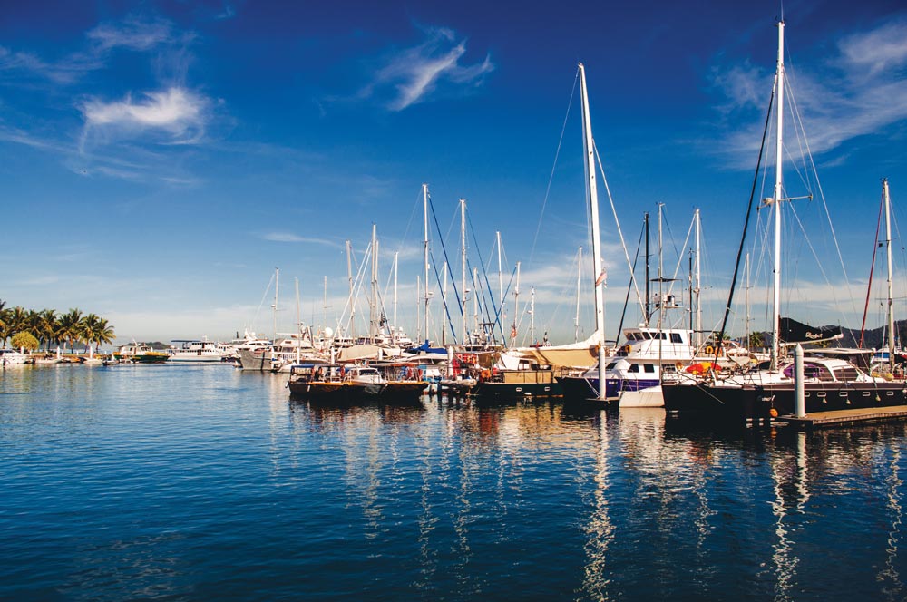
This marina is part of the Sutera Harbour Marina, Golf, Spa and Country Club estate. The modern 104-berth marina is located adjacent to the city centre of Kota Kinabalu, the capital of Sabah, and has an array of sporting and leisure facilities.
Read moreClick to view Malaysia photo gallery.

