This website uses cookies to improve your experience. We believe you'll be OK with this, but you can opt-out if you wish. Or you can go to 'cookie settings' and choose which cookies to allow. Privacy policy

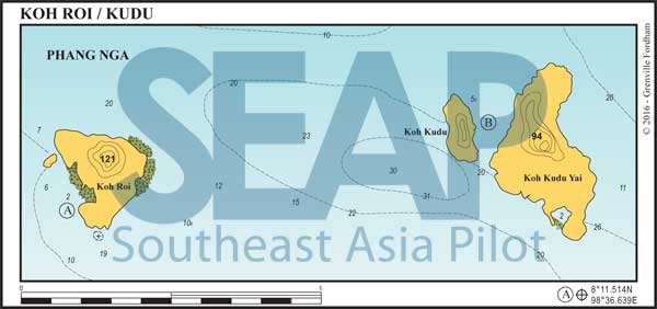
The Koh Roi & Koh Kudu group of islands are part of the Ao Phang Nga National Park. They afford good shelter in both seasons so make a useful stopover when you are heading south towards Krabi.
If approaching from the north or west end of Phang Nga Bay, beware of the shallow area and drying rock marked on the chart as Hin Mot Daeng, which lies athwart the direct route and has a beacon built on it.

Click to view Phang Nga Bay photo gallery.
19 miles from Yacht haven


You can find anchorage at Koh Roi in a small southwest facing bay with a rocky, off-lying islet on the north side. The bay is deep until close in. Vessels can anchor in about 8-12 metres on a muddy bottom with some rock.
Several hundred metres to the west the water is generally shallow and you should approach close to the island. This is a great anchorage in the northeast season and reasonable in the southwest season.
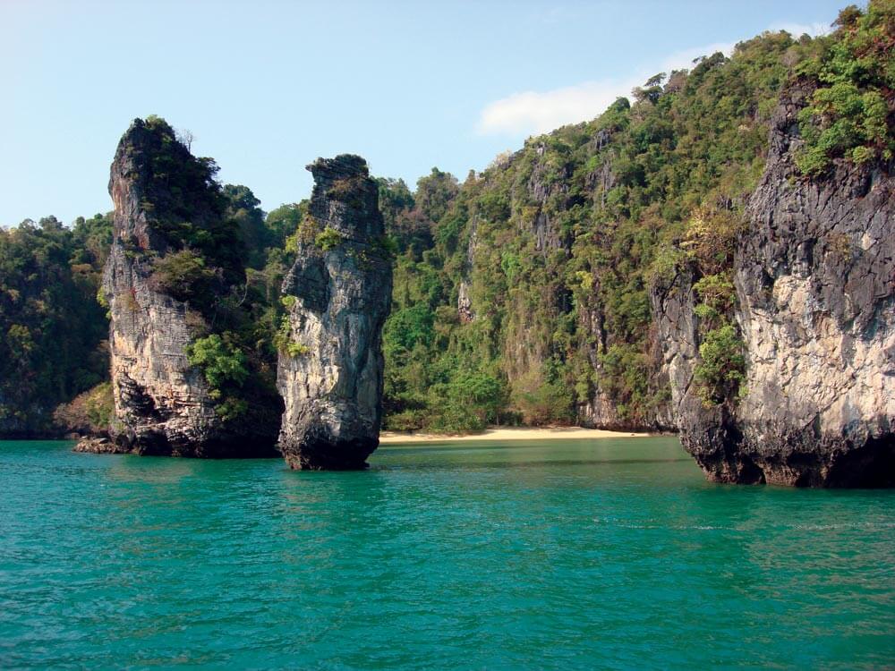
There are two beaches and a large, attractive hong. You can enter the hong on foot at all but high tide from the west beach. Fringing coral prevents access to either beach at low tide. This island marks the limit of VHF radio communication with Phuket, before Koh Yao Noi masks it.
Click to view Thailand photo gallery.
The rock just off the southern point of Koh Roi is a danger to deep draft vessels. Beware.
20 miles from Yacht haven


There is an excellent anchorage for all seasons at Koh Kudu Yai. It nestles between the two islands in 5-8 metres on a muddy bottom. However, note that winds can funnel between the islands causing a slight chop.

The larger island has interesting caves and hongs to explore by dinghy.You can access the hong on the southern point by small speedboat at most tides. The shallowest point is at the entrance but once inside shallow draft vessels can anchor overnight. We advise sailing yachts not to try to enter; many have found themselves on the bottom.
