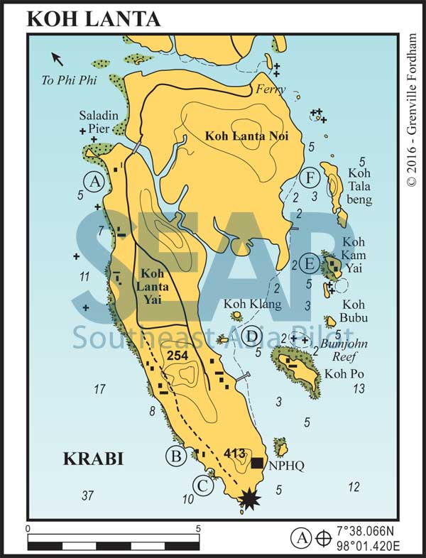
The islands of Lanta Noi and Lanta Yai are 14 miles from north to south, forming a bay protected from the southwest monsoon on the east side. Road access is via highway 4206 and a short ferry crossing − Ban Hua Hin to Koh Lanta Noi and Lanta Bridge (opened in 2016) to Koh Lanta Yai − with an 8-kilometre drive across Lanta Noi. During high season long queues can be experienced at the ferry.
Direct access by fast passenger ferries is available from Krabi and Phi Phi to the Saladan Pier during the high season and from Bor Muang on the mainland to Lanta District Pier on the east coast all year round.
Read more
43 miles from Ao Chalong


The west coast of Koh Lanta provides plenty of anchorages during the northeast monsoon season, but none in the southwest. The best protection and holding is in the northern bay of Hat Khlong Dao, tucked in behind the low rocky promontory of Laem Kaw Kwang (Deer Neck Cape).
Anchor in the middle of the bay in 4-6 metres. If entering from the south, beware of the rock awash off Laem Yung headland.
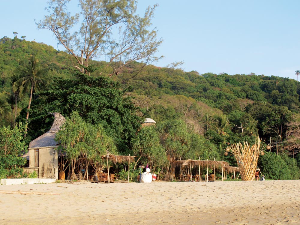
Most beaches offer bungalow accommodation and limited provisions are available. Ashore are many bungalow developments and restaurants. The coast road is set back at least 500 metres from the beach.
One mile south is Ao Phra-Ae Beach, separated by a dangerous rock awash at low tide. There is a mooring available in 6 metres in front of the Layana Resort and Spa. This luxury 50-room boutique resort welcomes yachties.
46 miles from Ao Chalong


Recommended during the northeast monsoon season only, anchor close inshore in 5 metres on a sandy bottom opposite the Pimalai Resort and Spa, a 5-star resort nestled amongst the foliage against the beach.
Visiting yachts are welcomed BUT may use the floating jetty at the north end of the resort ONLY if they intend to use the resort restaurant. The jetty is dismantled and taken away at the end of each high season. The original parts of the jetty are black and can get scorching hot in the midday sun. Tie close to the beach and wear shoes.
At the northern end of the beach is the bar and restaurant ‘Why Not’. A firm favourite with locals and visitors alike, the helpful staff here offer great service with a smile. Without doubt the best venue on this beach. A bit further north, at the very end of the beach, is a tidal creek running to a small waterfall.
Click to view Thailand photo gallery.

48 miles from Ao Chalong


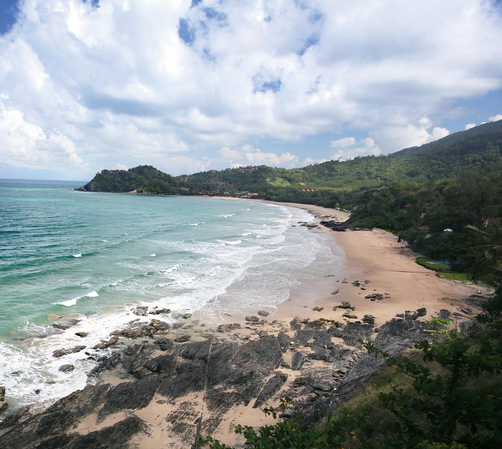
The southernmost accessible beach, also known as Waterfall Bay, has good holding close inshore in 6 -10 metres on a sandy bottom. At the north end is a river clearly visible from the sea, with Phru Bon Falls at its head – well worth a visit. Further south, the road stops close to the lighthouse at the ranger station for Mu Koh Lanta National Park. There’s often an uncomfortable ground swell but snorkelling is excellent and there are several restaurants ashore.
54 miles from Ao Chalong


Koh Po, off the eastern coast of Koh Lanta, offers moderate protection during the southwest monsoon season. The best overnight stop is the large area between Koh Klang and Koh Po, with better holding in mud in about 5 metres.
500 metres north of the village on Koh Po is a very dangerous and hard-to-spot rocky patch which is submerged most of the time. The safest approach to this anchorage is from the south, leaving Koh Po to starboard. The holding off the jetty is in fine mud and not as reliable as around Koh Po.
Ashore on the main island are the main town of Talat Lanta with the Post Office, government hospital and a 300-metre jetty south of the stilted village, where ferries depart for the mainland at Bor Muang. This was the original settlement on the sheltered east coast before tourism made Hat Khlong Dao the most densely populated area.
Approach the badly maintained public jetty by dinghy only from mid-tide upwards and take plenty of care not to get ‘stuck’ by a rusty nail.
Diesel and gasoline are available in small quantities. There are many food stalls and a supermarket near the jetty, with a few very good and cheap seafood restaurants. Lanta old town is a nice visit, but the awful holding in the bay means someone has to stay aboard on anchor watch. Lanta Marine services is based here and they have proper laid moorings available for rent, and can help you with most mechanical issues.
57 miles from Ao Chalong


Excellent protection in both seasons. Do not attempt the passage between Koh Kam Yai and Koh Kam Noi. Approach from the south between Koh Bubu and Koh Kam Noi and anchor in the 5-metre basin where you see a concrete jetty. Ashore is an abandoned resort.
60 miles from Ao Chalong


The vertical cliffs of Koh Talabeng and Lanta Noi create a perfectly protected anchorage in 3-6 metres. One of the only accessible Phang Nga-like islands of this bay, dinghy or sea canoe exploration is a must.
Further north, the shallow mangrove river that creates the passage between Lanta Noi and the mainland is interesting and undisturbed, until you reach the ferry pier with highway access.
